
Paths to statehood
Footnotes of Statehood
New episodes on Fridays.
How each U.S. state got to statehood, told clearly enough for every age.
Paths to statehood
New episodes on Fridays.
How each U.S. state got to statehood, told clearly enough for every age.
1700s and 1800s
Footnotes of Statehood tells how each U.S. state got to statehood, clearly enough for every age.
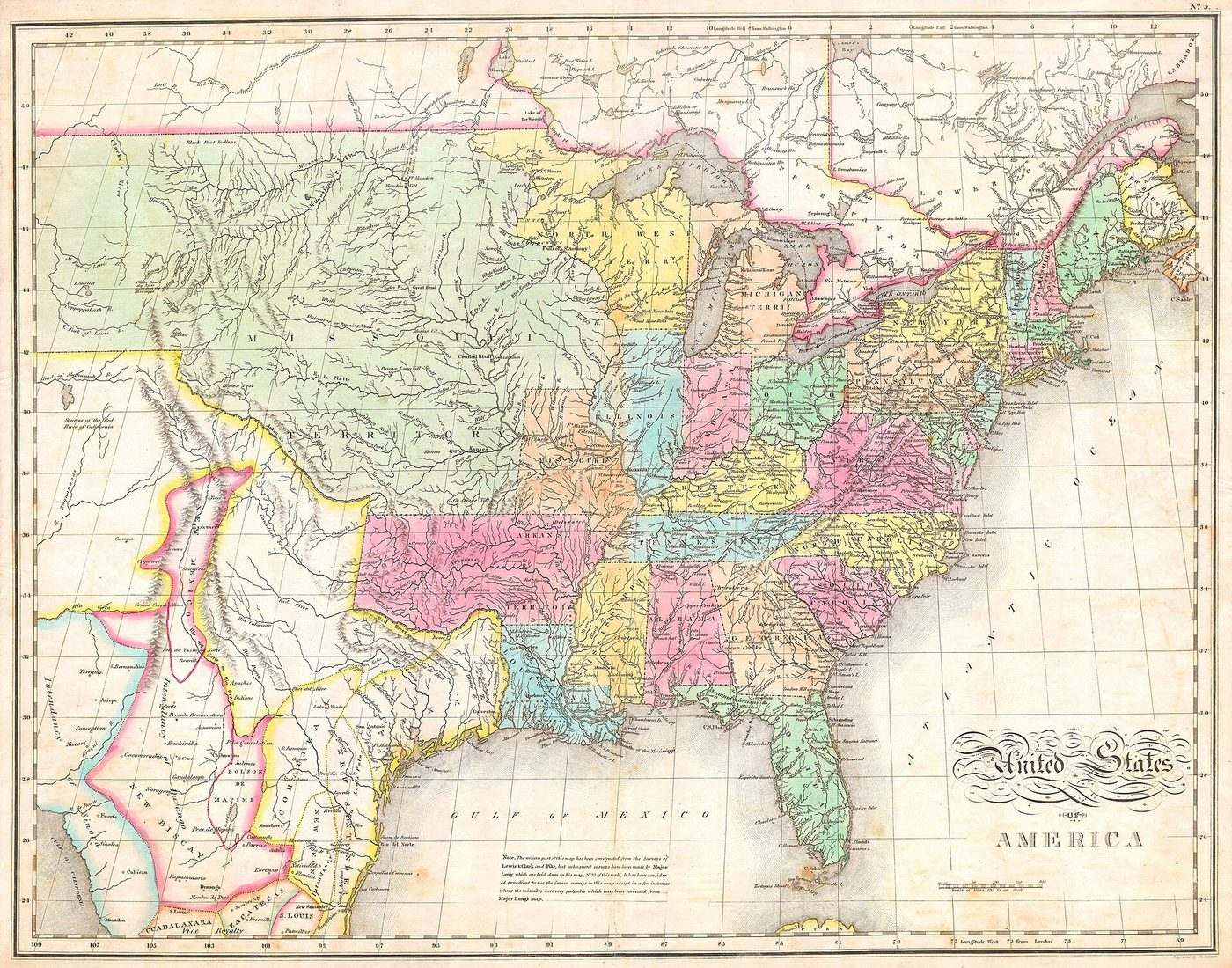
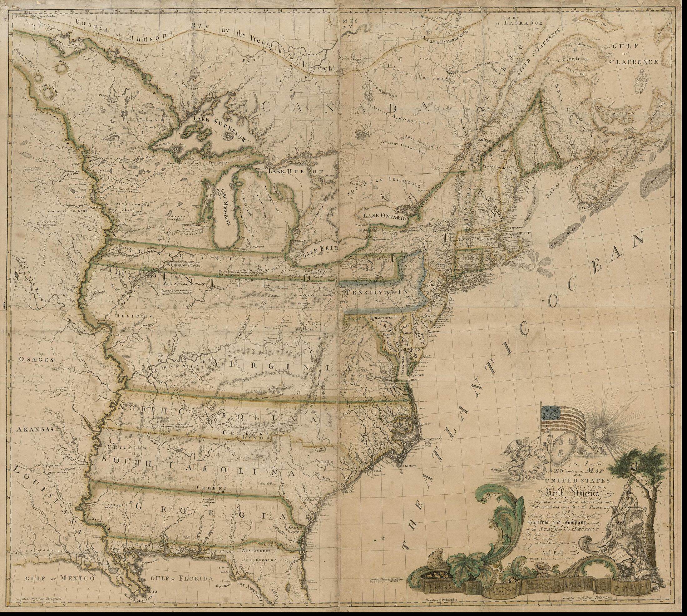
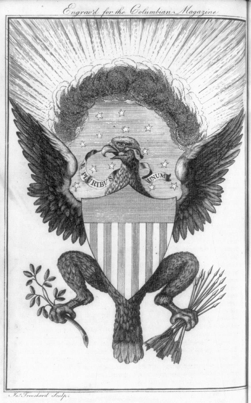
The map and seal on this page are from the late 1700s and early 1800s, when the union was being drawn and new states were being admitted.
A new episode is published on Fridays.
Viewers can follow one state’s road into the union at a time.
3 episodes, newest first.
Newest
The episode presents Georgia, from mounds to the fourth state.

The episode presents how Delaware became the 1st state: Swedes, a stormy ride, and a round border.

The episode presents how New Jersey became the 3rd state.